
Soil Analysis by Drone: A New Way to Raise Farm Productivity
Drone soil mapping reveals nutrient levels, moisture and erosion risk across the whole field — guiding precision fertilising and irrigation and protecting the land.
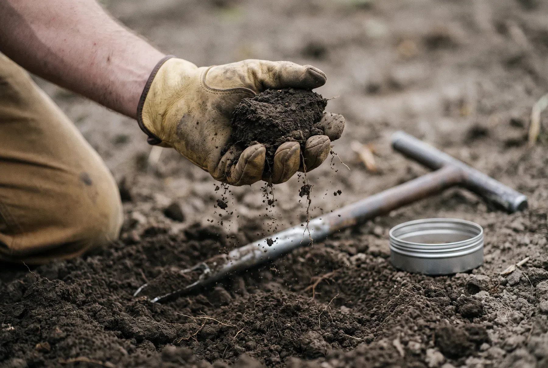
Soil health and fertility are among the most critical factors in producing high-quality crops. Conventional soil analysis can be slow and costly, and it yields limited data. Drone-assisted soil analysis gives farmers real-time, detailed soil data over large areas, helping them make better-informed decisions. So how does soil analysis by drone raise farm productivity?
Fast, Comprehensive Soil Mapping with Drones
Conventional soil analysis sends samples to a laboratory, but that process takes time and can miss variation from one part of the field to another. Using multispectral cameras and thermal sensors, drones scan the entire field and produce detailed soil maps. The data quickly shows water-holding capacity, organic matter content and nutrient deficiencies.
Identifying Soil Nutrient Levels for Precision Fertilising
Different parts of a field hold nutrients such as nitrogen, phosphorus and potassium in different proportions. Applying the same amount of fertiliser across the whole field, as conventional methods do, can over-feed some areas and under-feed others. Soil analysis by drone identifies which nutrient each zone needs, making precision fertilising possible. Farmers avoid lost yield and lower their fertiliser costs at the same time.
Saving Water by Optimising Irrigation
To determine soil moisture, drones use thermal imaging to pick out dry and wet areas. That lets farmers avoid wasting water where they are over-irrigating and meet crops’ needs where they are under-irrigating. Drone-based irrigation management can save up to 30% of water, lowering costs and benefiting the environment.
Preventing Erosion and Soil Degradation
Soil loss on farmland is one of the biggest threats to productivity. Drone imaging systems identify areas prone to wind and water erosion, giving farmers the chance to take precautions early. With suitable soil conservation techniques in place, productive land is protected for the long term.
Conclusion: The Future of Smart Farming with Drones
Drone-assisted soil analysis gives farmers detailed information about soil health and helps them farm more productively and with better information. By optimising critical processes such as fertilising, irrigation and erosion management, the technology lowers costs and makes agricultural production more sustainable. Raise your soil’s productivity with Skytech’s agricultural drones and take your production to its highest level.