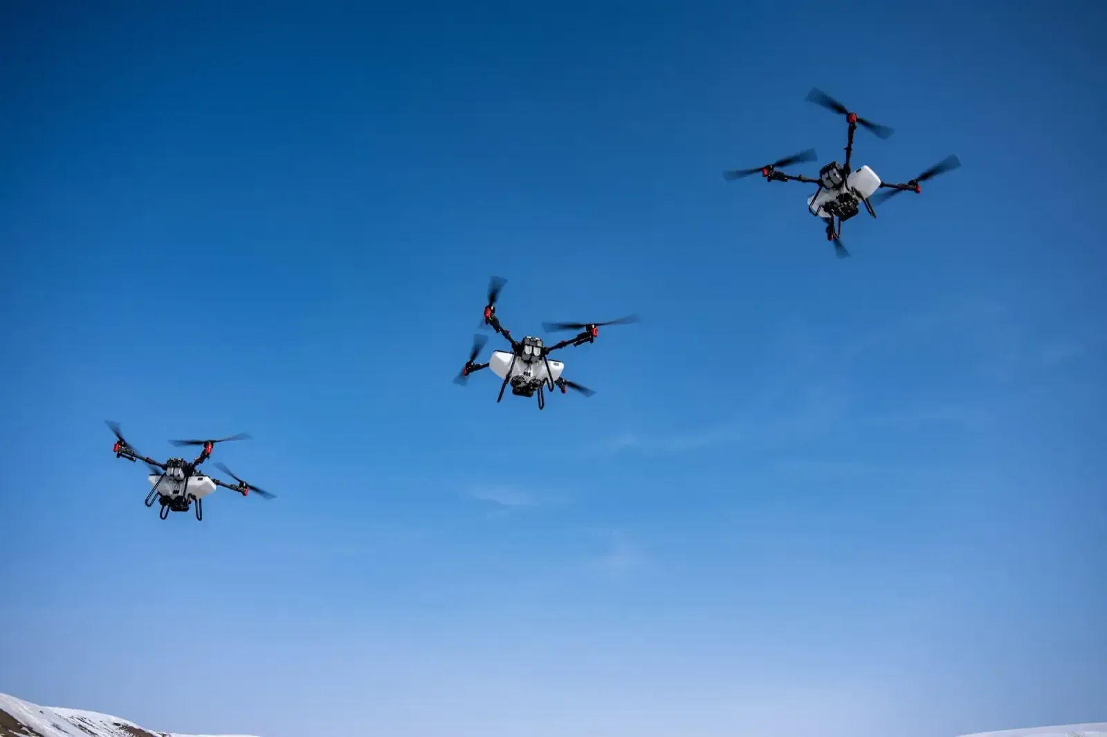
Skytech Air is the founding division of the group. It runs field operations with unmanned aircraft and supplies the underlying technology to growers, with a single objective: cut input use while raising yield in measurable terms.
Operations are planned to ±2.5 cm accuracy using RTK-assisted navigation. Field boundaries and obstacle maps are produced before every flight, and application records are reported per decare afterwards. Crop protection products and fertiliser reach only the area that needs them, at the dose that area needs — lowering both cost and environmental load.
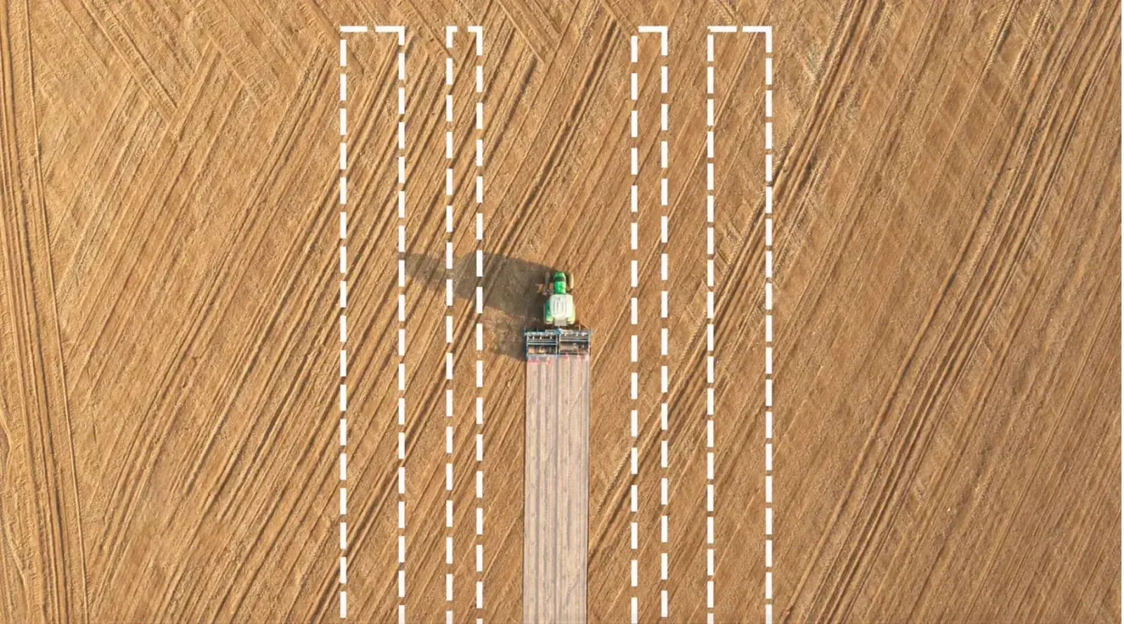
The swath pattern left across a field after application
How the work is done
An application is planned before anything takes off
Spraying a crop by drone is not a matter of lifting an aircraft and flying it over the field. Most of the work finishes before the flight: mapping the field boundary, charting obstacles, setting the swath width and calculating the dose.
Operations are planned to ±2.5 cm accuracy using RTK-assisted navigation. That precision buys two things: no overlap between swaths, and no second pass at the headlands. Removing overlap means finishing the same work with fewer inputs.
How an operation runs
Every site goes through the same four steps. None is skipped — skipping one leaves the record incomplete.
01
Survey and boundary
The field boundary is recorded by GPS. Pylons, trees, telephone lines and irrigation channels are added to the obstacle map, and drift risk toward neighbouring parcels is assessed.
02
Flight plan and dose
Dose is set against the crop, its growth stage and the target pest or disease. Flight height, speed and swath width follow from it, and wind speed and direction are compensated during application.
03
Application
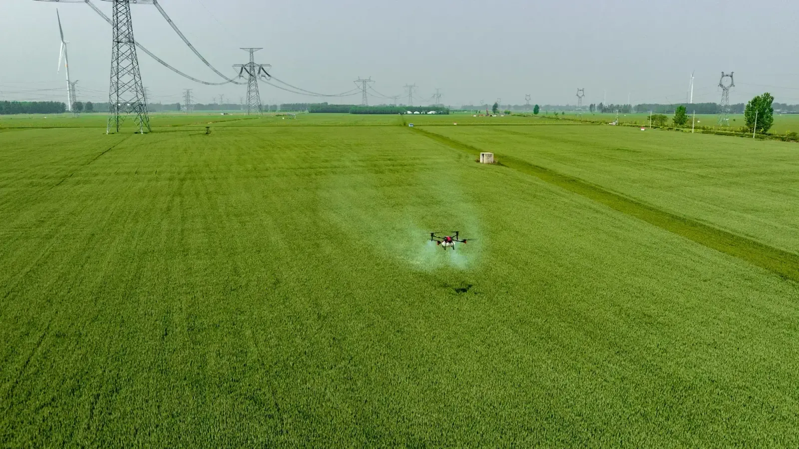
The aircraft flies the planned route autonomously. An operator is on site throughout. When the tank empties it returns to the fill point and resumes where it stopped.
04
Record and report
Area covered, product used, dose, date and time are logged. The report is delivered per decare — and that record belongs to the customer.
Where a drone genuinely changes the outcome
A drone is not the right tool for every field. In these conditions the difference is clear.
Wet or muddy ground
Application is possible where a tractor cannot enter, so the critical window after rain is not missed.
Sloping terrain
Work continues on hillsides where machine access is difficult or unsafe. Terrain-following radar holds a constant height above ground.
Tall standing crop
In late-season applications on maize or sunflower a tractor damages the crop. An aircraft does not.
Wheel-track losses
A tractor crushes part of the crop on every pass. Applied from the air, that loss is zero.
Soil compaction
Heavy machinery compacts soil and restricts root development. Aerial application never touches the ground.
Rapid response
Set-up time is short under sudden pest pressure — the aircraft is ready to fly as soon as it reaches the site.
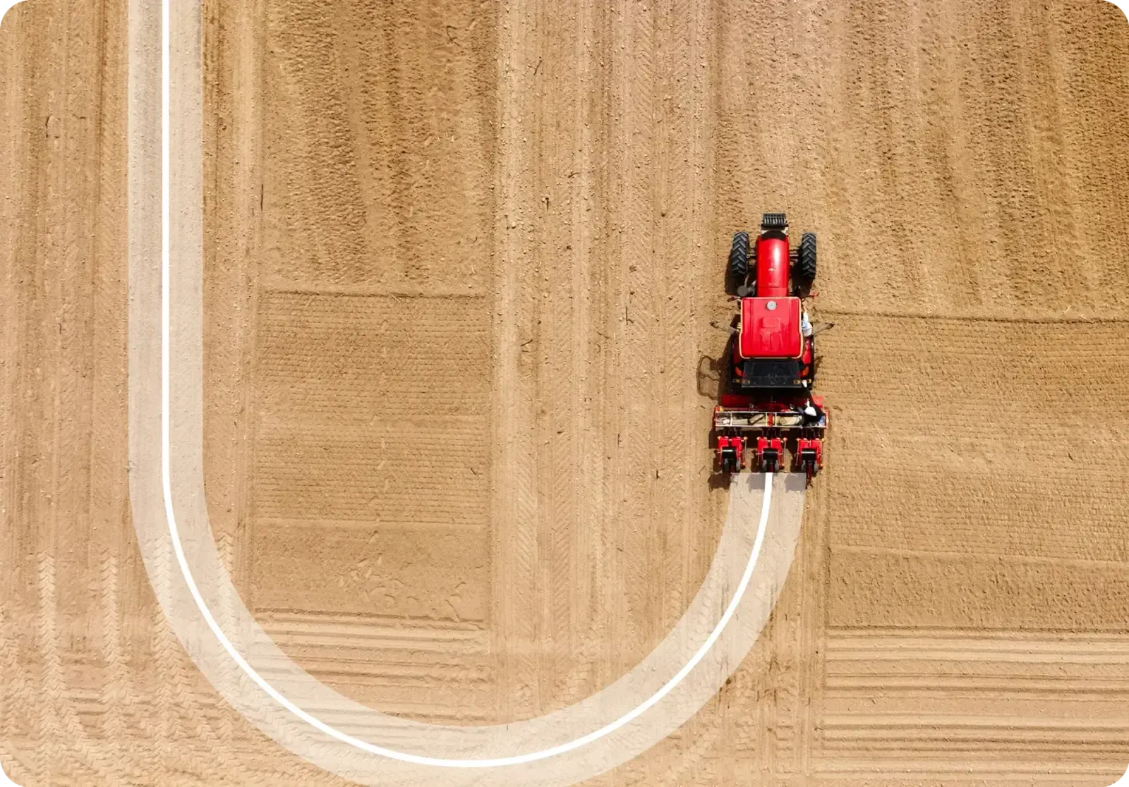
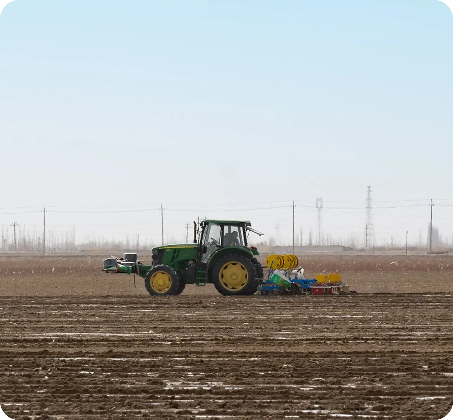
A headland turn under auto-steering — no overlap
Auto-steering makes the tractor you already own precise
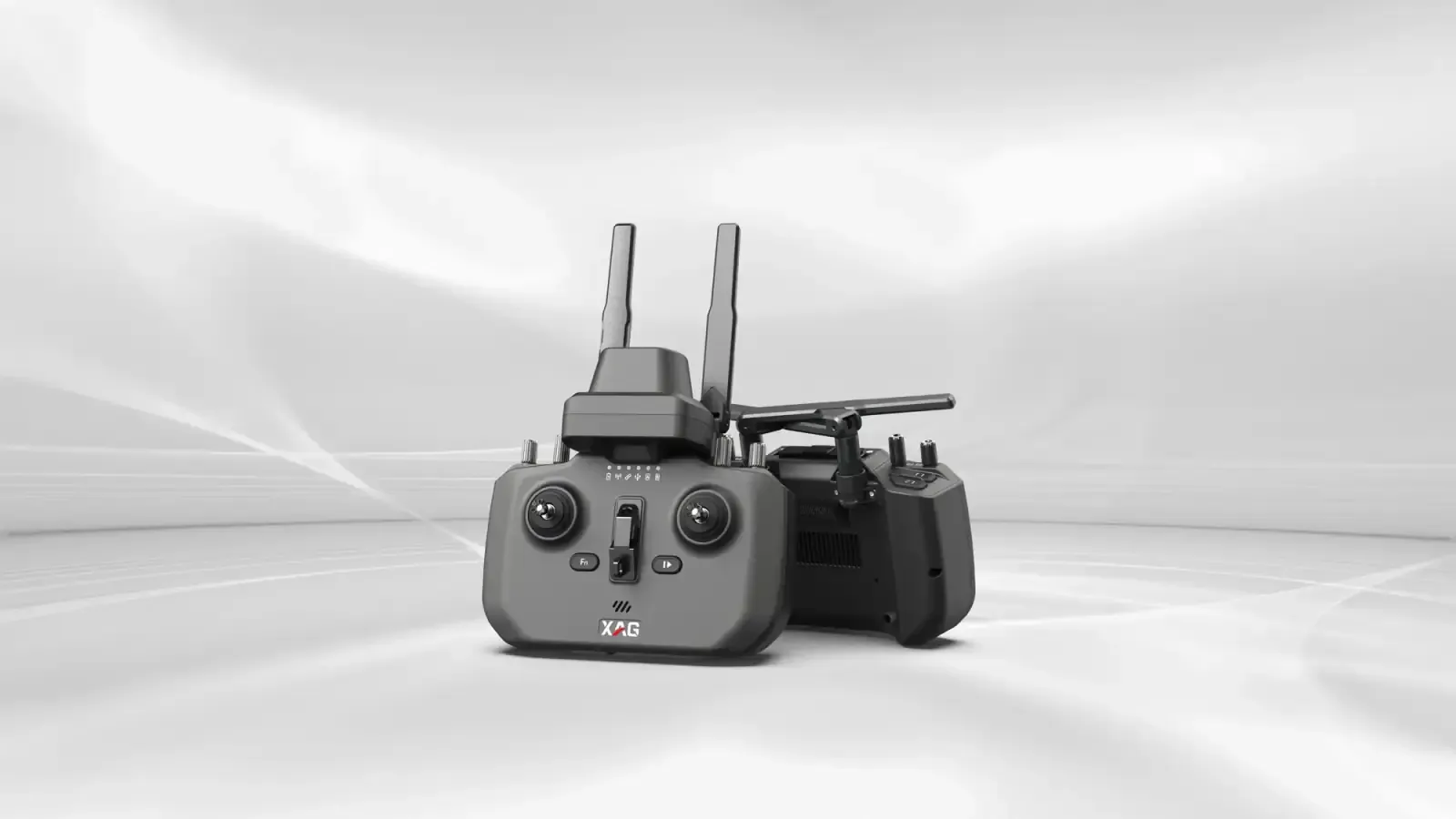
The XAG APC2 does not require a new tractor. It is a steering console retrofitted to the machine you have: a unit on the steering wheel and an antenna on the cab roof, and the vehicle follows the planned line itself.
The gain is here. Steering by hand, an operator leaves some overlap on every pass to stay on the safe side. That overlap accumulates across the field, and a portion of the seed, fertiliser and fuel is spent twice. Under auto-steering the line is fixed.
The second gain is independence from visibility. Because the line comes from GPS, work continues after dark, in dust and on foggy mornings. When the sowing or harvest window is narrow, that is the difference between finishing the field on time and not.
Technical framework
Exact figures vary by platform, crop and site conditions; sizing follows the survey.
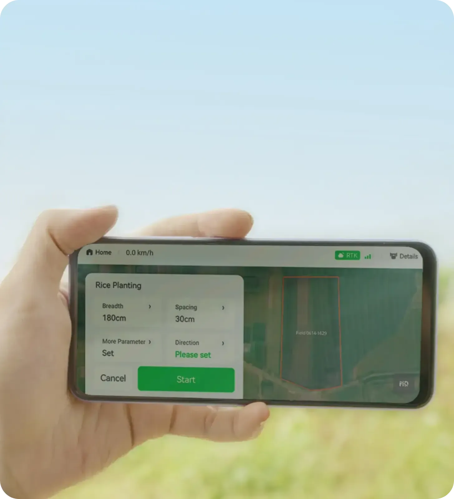
XAG flight-planning app; field boundary and obstacle map
From the field
Honest limits
A drone is not cheaper than a tractor at everything. On very large, flat parcels a wide-boom sprayer still wins on unit cost; the aircraft’s advantage is access, timing and input precision.
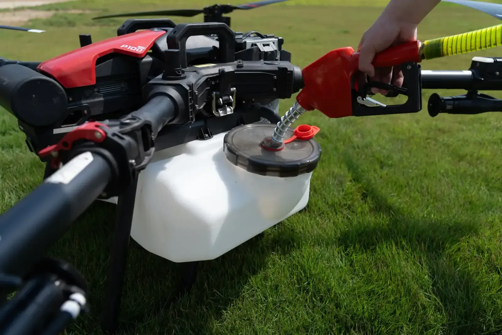
Tank capacity is limited. Applications needing high water volumes mean more refills and a lower work rate, and the plan is built around that.
Above a certain wind speed we do not fly. We are not willing to accept the drift risk and apply anyway.
Capabilities
What this division does
The services and engineering scope we deliver.
Drone spraying
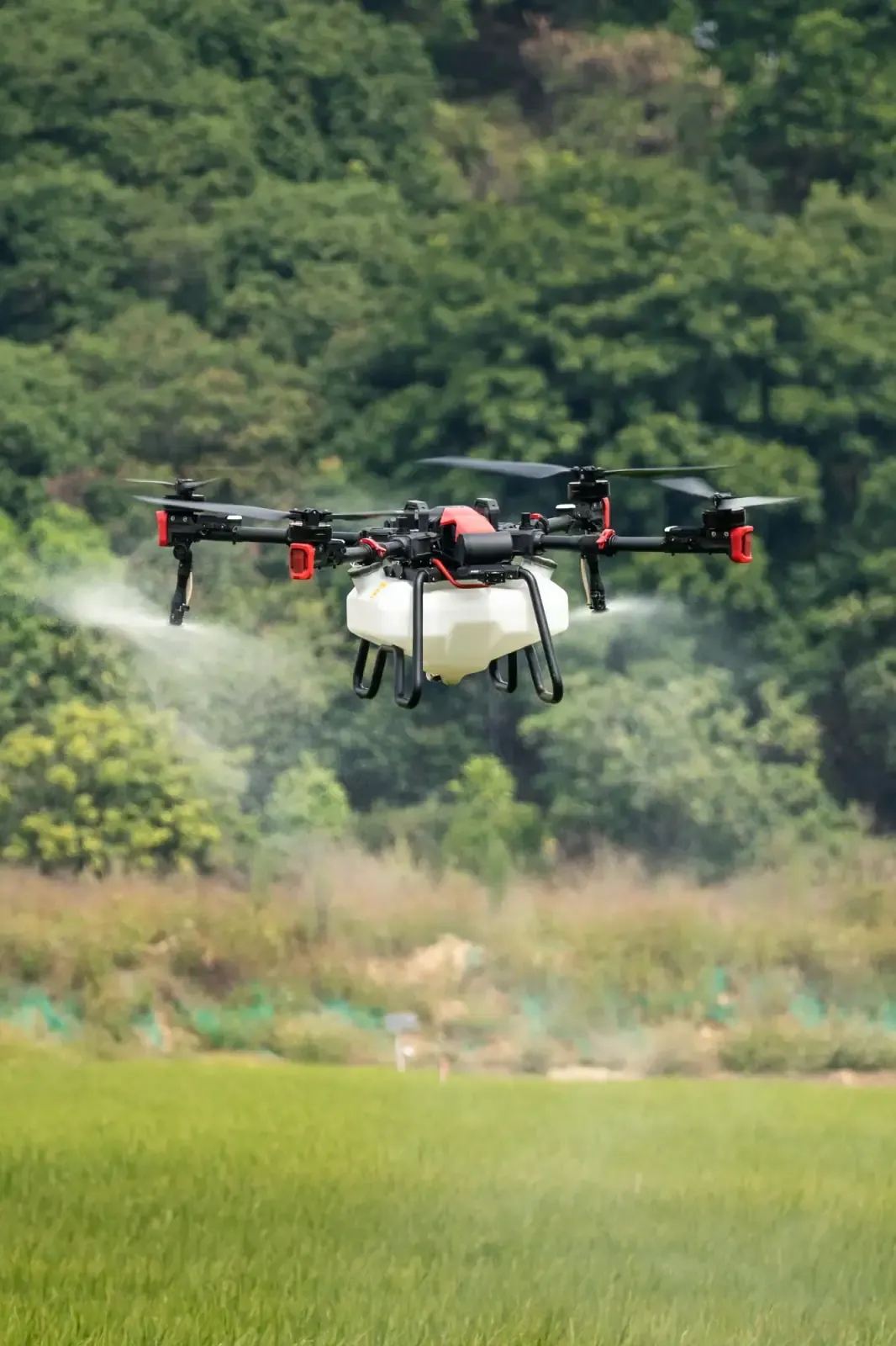
Variable-rate, wind-compensated application — with no wheel-track losses and no soil compaction.
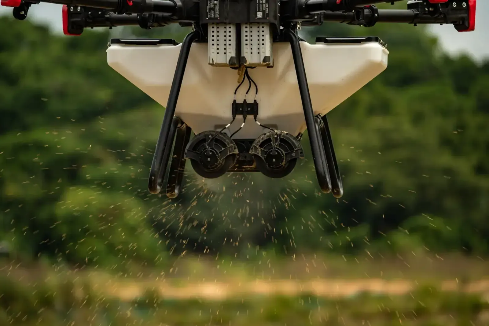
Drone fertilising
Even spreading of granular and liquid fertiliser, including on sloped and waterlogged ground.
Aerial seeding
Direct aerial sowing for rice, forage and cover crops.
Crop mapping
Multi-band imaging for plant-health analysis and prescription-map generation.
Auto-steering
XAG APC2 retrofit for existing tractors — overlap-free field work that continues after dark.
Training and service
Operator certification, spare-part supply and on-site maintenance.
Platform
Fleet and systems
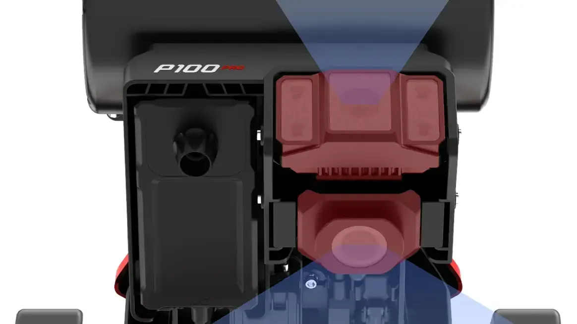
P100 PROXAG P100 ProModular agricultural drone — spraying and spreading
P150XAG P150High-payload next-generation platform
APC2XAG APC2Auto-steering console
Sectors
Where we work
Field crops
Orchards and vineyards
Rice
Industrial farming operations
Agricultural cooperatives
Chambers and grower unions
From the field
Operating basis
How we operate
Every application is logged per decare and reported back to the customer.
Flights are conducted under applicable UAV regulations and site permits.
Why is drone spraying more efficient than conventional application?
Drone spraying applies crop protection product at a variable rate and only where it is needed. Because no tractor enters the field, there is no wheel-track crop loss and no soil compaction, and sloped or waterlogged ground can still be treated. Skytech Air operations are planned to ±2.5 cm accuracy using RTK-assisted navigation.
What is the difference between the XAG P100 Pro and the XAG P150?
The XAG P100 Pro is a modular agricultural drone used for spraying and granular spreading. The XAG P150 is a next-generation platform with a higher payload capacity. Both are in the Skytech Air fleet; the choice depends on the area to be covered and the type of application.
Can auto-steering be fitted to my existing tractor?
Yes. The XAG APC2 auto-steering console is retrofitted to existing tractors. It delivers overlap-free field work and makes working after dark possible. Installation, operator training and scheduled maintenance are handled by Skytech Air.
Is agricultural drone spraying legal?
Yes. Skytech Air flights are conducted in accordance with applicable UAV regulations and site permits. Every application is logged per decare and reported back to the customer.
Have an enquiry for this division?
Reach our technical team and we will size the solution and prepare a quote.
 SKYTECH AIR