
Drone Mapping and Digital Field Monitoring
How drone mapping turns a field into data — plant health, soil moisture, pests and nutrient gaps — so each zone gets the treatment it actually needs.
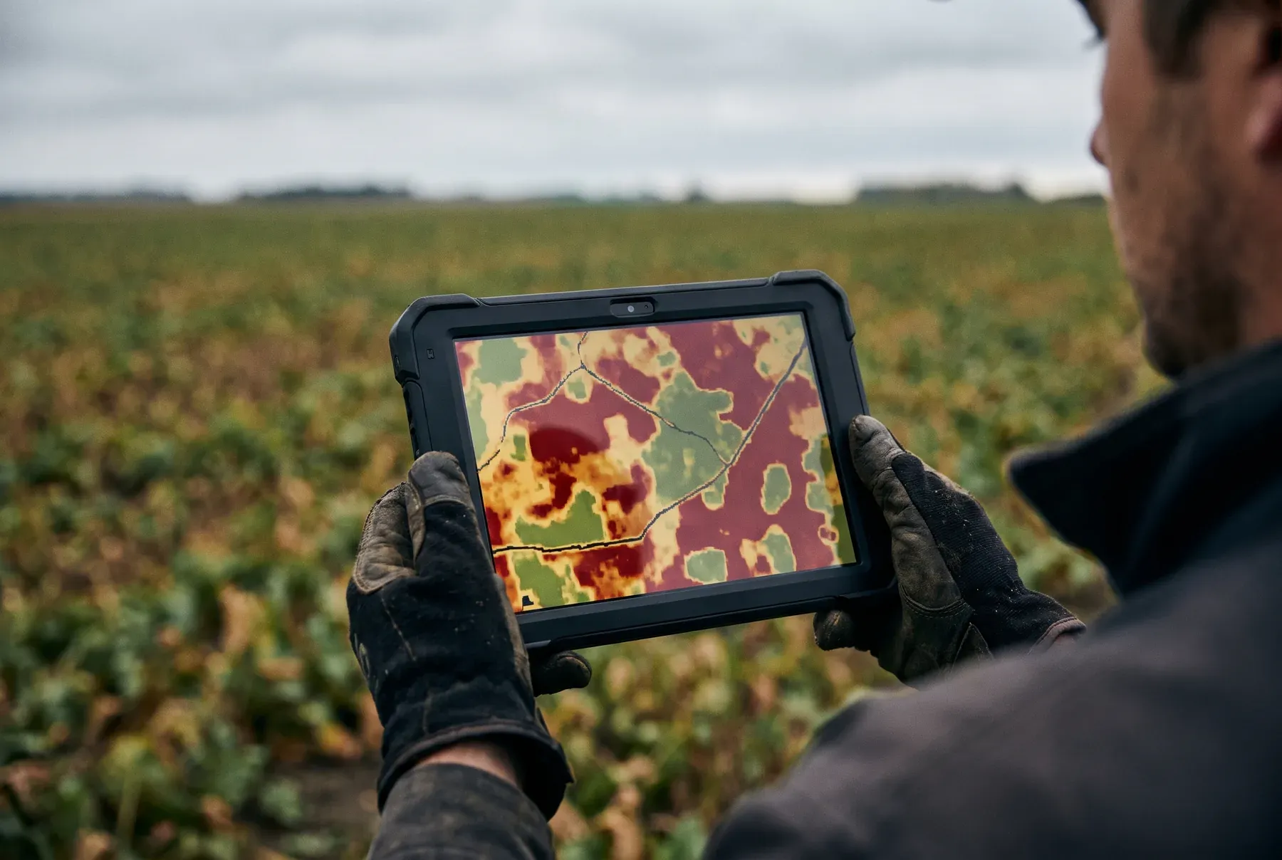
Productive farming and sustainable land management depend on decisions grounded in accurate data. Monitoring fields by conventional methods can be slow and prone to error, and that leads to lost yield. Drone mapping gives farmers real-time, high-precision data and with it the means to manage their fields more effectively. So how does drone mapping and digital field monitoring work, and what does it give the farmer?
How Does Drone Mapping Work?
Agricultural drones scan fields from the air using high-resolution cameras and multispectral sensors, producing detailed maps of the land. These maps help analyse critical information such as plant health, soil moisture, pest infestations and nutrient deficiencies. The data forms the foundation of precision farming and lets farmers make informed decisions.
Efficient Soil Management and Zone-Specific Treatment
No two parts of a field share exactly the same conditions. Some areas need more water or fertiliser, while pests may be concentrated in others. Treating the whole field the same way, as conventional methods do, wastes resources. Drone mapping reveals these differences so that each zone can be treated according to its needs — delivering higher yields at lower cost.
Detecting Agricultural Risks Early
Disease, pest outbreaks and drought can cause heavy yield losses if they are not caught early. Drone-based imaging and analysis systems monitor plant health continuously, diagnose problems early and give farmers the chance to act in time. That keeps crop losses to a minimum and avoids unnecessary use of crop protection products and fertiliser.
Faster, More Effective Field Monitoring
Checking large fields by conventional methods can take a long time and is open to human error. Drones scan large areas within minutes and deliver up-to-date, precise farm data. Working from digital maps, farmers can see which zones need attention and optimise their operations accordingly.
Conclusion: The Key to Digital Transformation in Farming
Drone mapping and digital field monitoring are among the most significant innovations in modern agriculture, bringing efficiency, cost savings and sustainability. Through real-time data analysis and precision farming practices, farmers can manage their resources as well as possible and achieve the highest yields. Manage your fields intelligently with Skytech’s agricultural drones and take your production into the future.